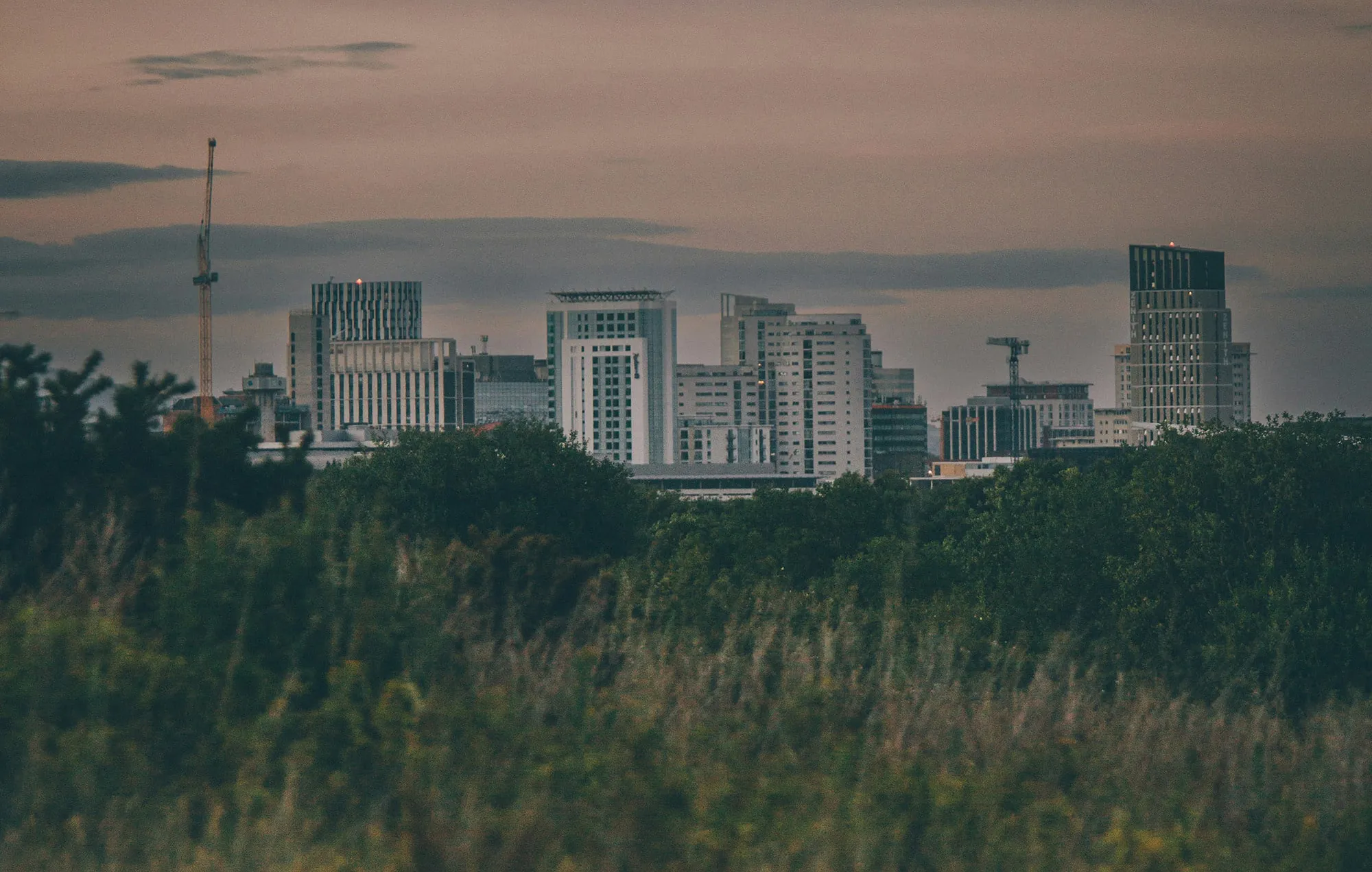
Biodiversity monitoring in urban environment
Use CASE 2a will explore Biodiversity monitoring in urban environment
Background
Biodiversity monitoring in cities is a challenging task, typically requiring field campaigns or dedicated flights. This service is often restricted to larger cities with sufficient budgets and is infrequently performed. Biodiversity services may include identifying and mapping plant species, assessing vegetation health (such as vigour, stress, presence of diseases and pests, etc), characterising tree height and canopy coverage, determining necessary actions such as fertilisation or irrigation, identifying ecosystem services, assessing allergy risks depending on trees’ phenological state, type of plant and its vegetative state, and monitoring urban water bodies (lakes and lagoons, river sections).
Gaps
Field campaigns and dedicated flights demand significant resources, are site-specific, and cover small areas, making monitoring infrequent and unavailable for many cities. Space-based monitoring opens new doors to biodiversity monitoring in the urban environment by bringing more frequent observations. Copernicus satellite data unlike costly Very High Resolution imagery, are free of cost and can provide with better spatiotemporal coverage compared to the traditional methods. However, they have not been leveraged for city ecosystem services due to spatial / temporal resolution limitations.
Objectives
- Use Deep Learning to enhance the spatial resolution of Sentinel images to extract biodiversity indices enabling more frequent and comprehensive monitoring of a city’s green and blue infrastructure
- use this new information to propose city-scale ecosystem services deployments
- make the methodology transferable to diverse EU cities.
Scale
Since Veolia Group (AQUA) in Spain is present in tens of cities, we will evaluate the Use Case tools to at least 3 different cities with diverse landscape, green and blue assets
Technical Partner
The UC will be developed by CERTH in close collaboration with AQUA.
Co-design user:
AQUA, set to introduce new services to its regular clients, namely municipalities and local authorities. Links to ThinkingEarth pillars:
- Copernicus foundation models: S1&S2 fused products,
- domain adaptation and generalisation: application in different cities in Spain.
Interested in collaborating with us?
Contact Sotiris Paraskevopoulos, sotirispara@iti.gr & Agustin Torres Jerez, agustin.torres@veolia.com
Results and useful links
Other use cases