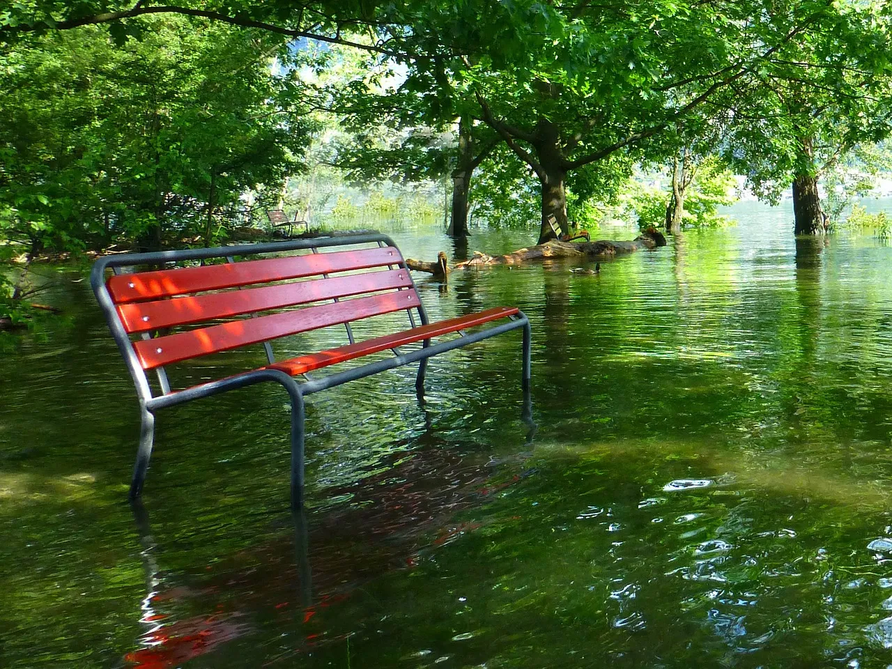
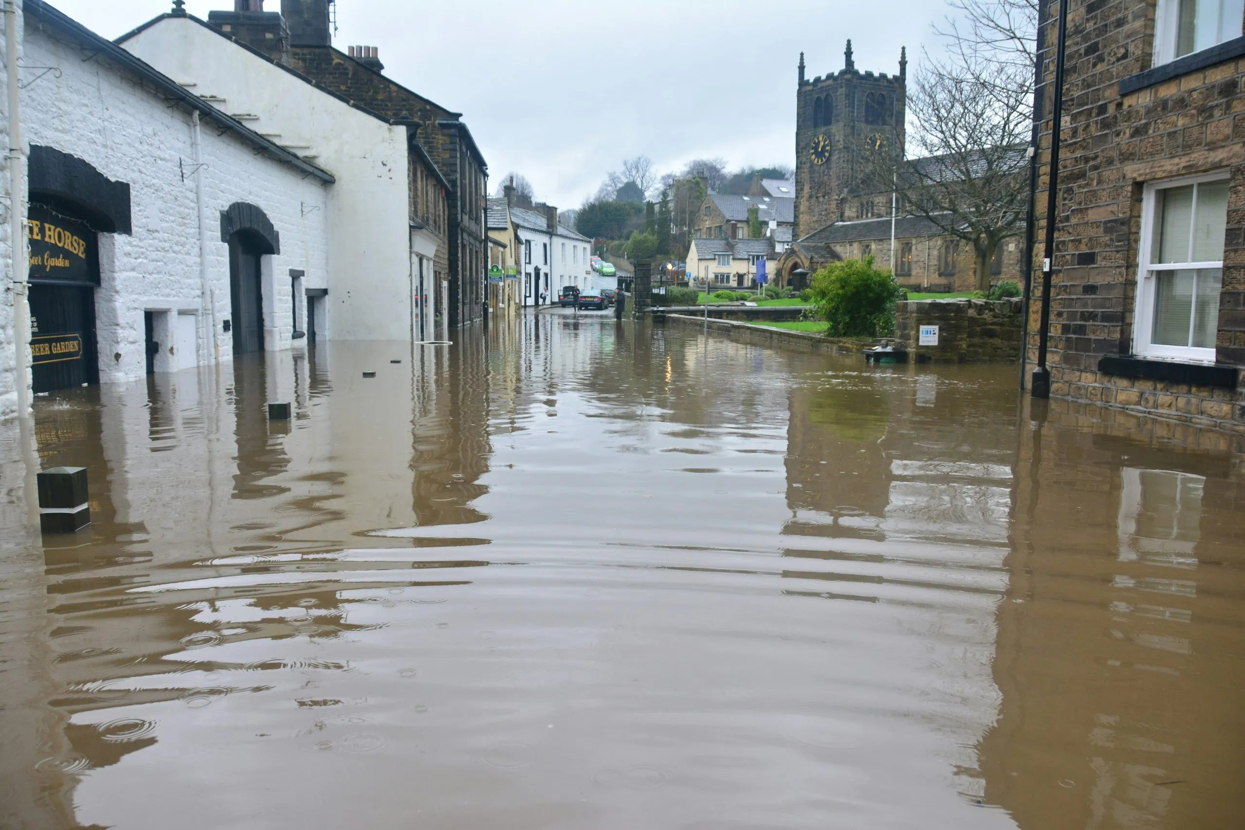
ThinkingEarth and Flood Mapping: Enhancing the Future of Disaster Response
ThinkingEarth, leveraging its advanced AI-driven geospatial analysis capabilities, can significantly enhance flood mapping processes, addressing these gaps through innovative integration of multi-modal satellite data and cutting-edge algorithms.
Overview of Existing Flood Mapping Datasets
Current datasets like SEN12-FLOOD, Sen1Floods11, and GF-FloodNet utilise a variety of satellite sensors, including Sentinel-1 SAR and Sentinel-2 multispectral imagery. These datasets have advanced flood mapping by aligning multi-source imagery, but often lack pre-event data or rely on annotation methods prone to inaccuracies.
ThinkingEarth’s Role in Advancing Flood Mapping
- Multi-Source Data Integration: ThinkingEarth’s capabilities align with datasets like Kuro Siwo, which integrate Sentinel-1 SAR and Sentinel-2 imagery. By improving contrastive learning and masked image modelling for Sentinel-1, 2, and 3 data, ThinkingEarth can accurately map flood extents even under cloud cover, distinguishing between floodwater and permanent water bodies with reduced false positives.
- Self-supervised learning techniques: Annotating satellite data is labour-intensive, as seen in manually interpreted datasets like CAU-Flood. ThinkingEarth can streamline this process using self-supervised graph learning techniques, refining flood annotations while maintaining high accuracy.
- Deep Learning for Flood Analysis: ThinkingEarth employs deep learning architectures, which can extract spatial and temporal contexts from satellite data, making it ideal for both rapid disaster response and long-term flood risk assessment.
- Real-Time Applications: By processing near-real-time data from satellites, ThinkingEarth can provide critical flood insights during active disaster events. For example, by incorporating non-EO data, it can monitor inundation extents and guide emergency management efforts.
- Expanding Coverage and Resolution: With global spatiotemporal datasets like Kuro Siwo as a foundation, ThinkingEarth can enhance flood mapping coverage to include underrepresented regions and integrate additional data modalities for better change detection.
Conclusion
ThinkingEarth’s innovative AI and geospatial analysis methods position it at the forefront in advancing flood mapping capabilities. By integrating high-quality datasets, leveraging state-of-the-art models, and enabling real-time monitoring, it offers scalable solutions for disaster management and climate resilience. This transformative approach will significantly reduce the impacts of flooding on vulnerable populations and infrastructure worldwide.
Read next

5 Ways ThinkingEarth Helps the Planet
Rethinking Flood Intelligence: How ThinkingEarth Advances AI for a Changing Climate

ThinkingEarth: Causal AI for Food Security
