ThinkingEarth Talks: World Food Programme
This project tackles major global challenges by using AI and big data to build a graph model of the Earth and the first-ever Copernicus Foundation Models.
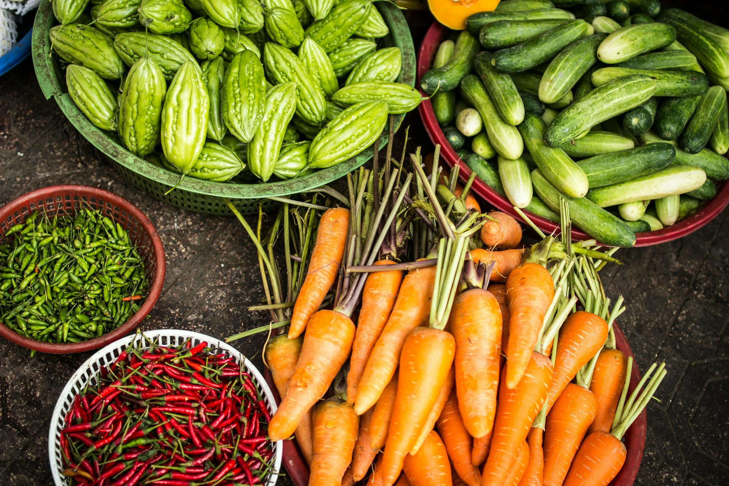
In recent years, food insecurity has become a major public concern worldwide. The scale of the global hunger and malnutrition crisis is enormous, with projections for 2025 indicating a worsening global food insecurity crisis. The World Food Programme estimates that 343 million people across 74 countries will face acute hunger this year, with 1.9 million at risk of famine—particularly in regions like Gaza, Sudan, South Sudan, Haiti, and Mali.
Thinking Earth, together with our partners—the University of Valencia and the World Food Programme—is exploring the causality of food security under climate change, utilising Earth observation data and artificial intelligence. With that, we aim to tackle the gaps in food insecurity analysis and really understand the root cause of this issue.
Duccio, could you introduce yourself and tell us about the World Food Programme?
I’m Duccio Piovani, and I am the Lead Data Scientist in the Early Warning and Forecasting Unit at the World Food Programme.
The service we are part of, called the VAM service, has a mandate to gather evidence to support WFP operations in the field. In some way, we like to think of ourselves as the ears and the eyes of the organisation. Our responsibilities include data collection, supporting country offices, partnering with external organisations to gather the necessary information, processing it, and making it available as a public good through external and public dashboards and as an internal resource to guide our operations.
In this context, the data science team has a big role to play. We are involved in building the infrastructure that allows the constant flow of information from the field and partners to our internal systems. We automate the processing, transformation, and harmonisation of the data, allowing these processes to happen at scale with as little human intervention as possible.
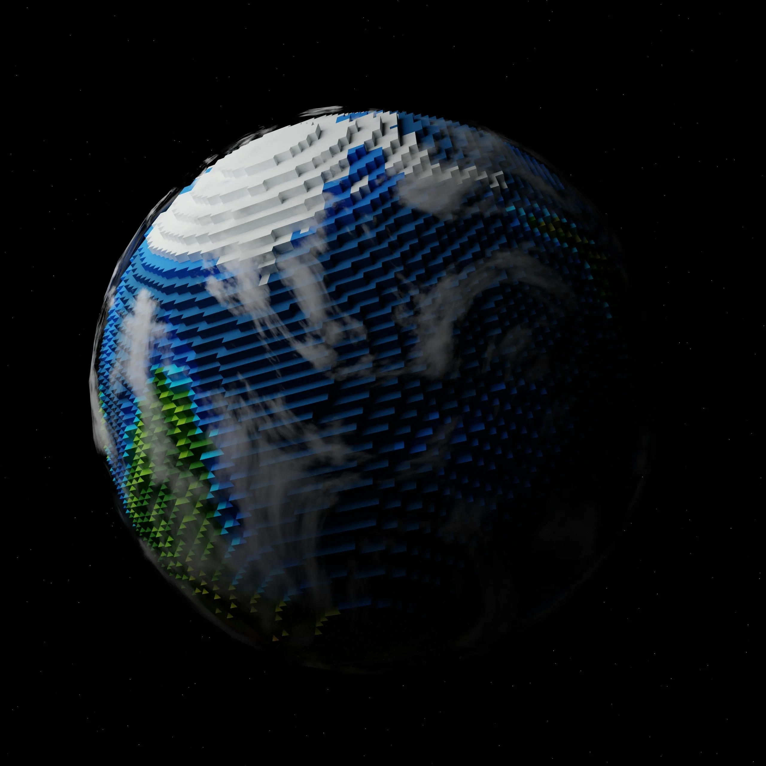
Earth observation data has come a long way, especially with systems like Sentinel-2 providing frequent high-resolution imagery. From your perspective, how has this transformed the way the World Food Programme monitors food security risks today?
Earth observation data collects vast numbers of indicators and is capable of gathering information on different aspects of what’s happening on the ground. In VAM, our service, we mostly use Earth observation and satellite data for weather indicators and as a proxy to understand the weather conditions on the ground—weather events, extreme weather events, and climate in general.
These are some of the main drivers of food insecurity. Climate directly influences crop production, which influences food prices and trade, and therefore plays a central role in making food available to the population. Extreme weather events and natural hazards disrupt food systems and are big drivers of displacement and food insecurity.
The ability to monitor, in real time, the evolution of the climate and to model its variation and understand how this can impact the food security situation is a big tool for early action—knowing when something happens, where it happened, and how to prepare a response. In recent years, it’s also become increasingly important for anticipatory reaction. Thanks to this vast amount of data, if you’re able to correctly predict a hazard, you can prepare a series of anticipatory actions to mitigate the impact of the event.
Earth observation and satellite imagery have played a crucial role in WFP’s operations, and their importance is growing every month.
How is the World Food Programme using satellite data to monitor food security in places that are hard to reach?
Earth observation, being remote sensing, allows you to go anywhere you need just by pointing a satellite to the desired location. It’s one of the sources of information we use in cases that are hard to reach. In fact, we use satellite imagery in all kinds of areas, including hard-to-reach areas.
We also have other methodologies to gather information in those areas, such as phone surveys. Historically, WFP, through its presence in the areas where it operates, assesses the situation face-to-face and uses that information to prepare the response. But sometimes this cannot happen because of conflict or epidemics, which leave a grey area where we don’t have any information.
We try to fill those gaps through a programme in which our team is closely involved, called real-time monitoring. We monitor those areas through a constant flow of phone surveys happening every day, so that we can understand the evolution in near real time. This is, of course, triangulated with other sources—one of them being Earth observation, which can operate anywhere despite conflicts or epidemics.
So yes, it’s an important source, especially in these hard-to-reach areas.
One of Thinking Earth’s aims is to bridge the gap between climate and socio-economic factors through tools such as machine learning. How have these factors intertwined over the years and how has the World Food Programme been able to currently address them?
This is a crucial aspect of our work. Generally speaking, it’s one of the hardest—triangulating different sources of information from different domains.
Once you have the information—say, rainfall indicators or a vegetation index or crop production data—how do you translate that into impact? How will all that affect the lives of people on the ground? How can we translate these numbers into food insecurity?
What’s the percentage of food-insecure people? That’s an open question, and it’s inherently hard to answer because food insecurity is not easily quantifiable. It’s not just a yes-or-no answer. There are different levels of food insecurity.
We focus on historical data and triangulate different data collection efforts—like IPC (Integrated Phase Classification), real-time monitoring, food prices, and rainfall levels. We use the full spectrum of information we can access and feed that into machine learning models, which are good at spotting relationships in multidimensional inputs.
We are training algorithms and improving our human understanding of how these things relate. How can we go from just Earth observation to actual impact—and translate that into the number of people in need?
Do you see any gaps or challenges with the current use of Earth observation? And what would the World Food Programme like to see in the future?
The gaps in all data collection efforts are very similar. Ideally, you want information everywhere, all the time, at the highest possible quality. That means high-resolution imagery at different frequency bands—not just optical, but also radar and infrared—and very frequent updates. Not every 10 days, but maybe every minute, and at the highest possible resolution.
Of course, that’s an impossible request. The current resolution of publicly available Earth observation data allows us to go only so far. For example, we can’t easily do post-disaster assessments, and the update frequencies aren’t always fast enough for those kinds of tasks.
Also, if you need specific information on a specific day and it’s cloudy, it’s often hard to get the data you need.
This field has witnessed dramatic improvements in the last decade. We’ve come a long way already, but technological advancement will be crucial to unlocking new types of analysis—especially by improving frequency and resolution.
This interview is available on our ThinkingEarth Youtube channel. Don’t forget to subscribe for more upcoming videos!
Read next
ThinkingEarth: Causal AI for Food Security
From Earth Foundation Models to ThinkingEarth
How Thinking Earth helps biodiversity monitoring in urban environments
