

Protecting Water Resources with ThinkingEarth
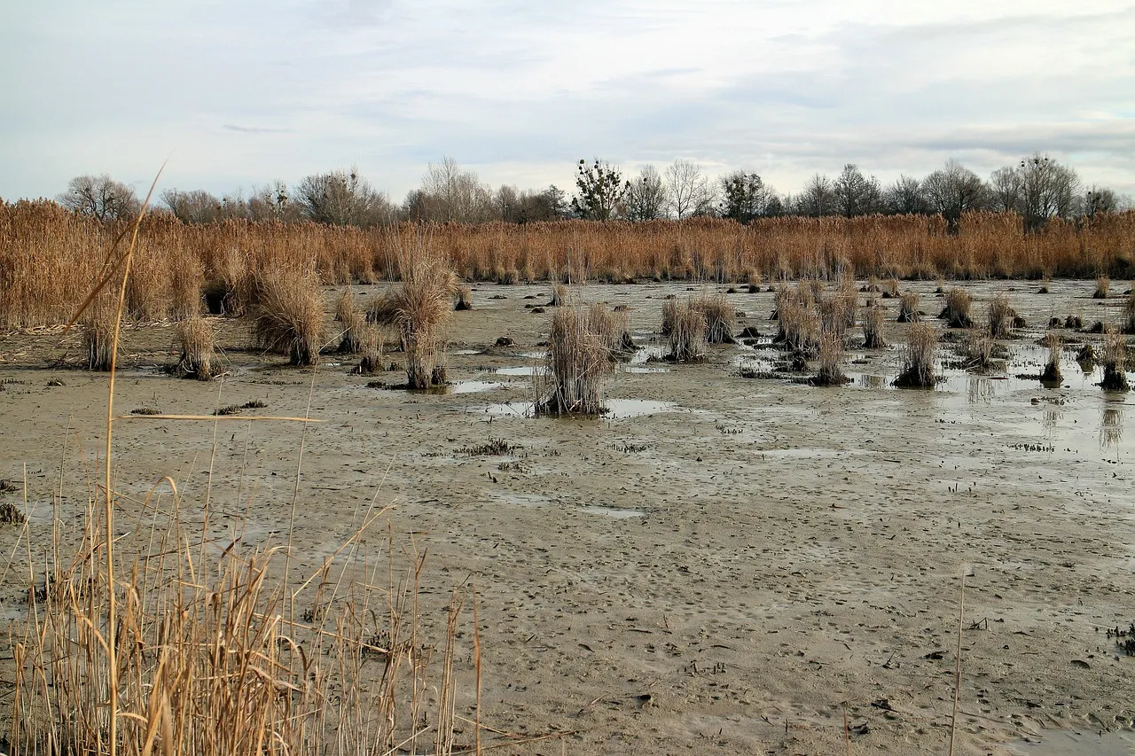
These events are not only causing floods, landslides, and soil erosion, but they are also contributing to a significant environmental issue: sediment-laden, or muddy, water in rivers and reservoirs.
According to the publication “MUDDAT: A Sentinel-2 image-based muddy water benchmark dataset for environmental monitoring,” co-authored by Konstantinos Vlachos, ThinkingEarth’s Use Case 2A, one significant consequence of this is the increase in sediment-laden, or muddy, water in rivers and reservoirs. This is further worsened by human activities such as poor farming practices, waste disposal, and industrial pollution, making water quality even more of a concern.
How can muddy waters affect ecosystems?
Muddy waters can have far-reaching impacts on human health, ecosystems, and the economy. Increased muddy waters can affect not only aquatic fauna but also harming water systems and economies relying on clean water sources for fishing, etc. Considering these challenges, effective monitoring and mitigation are critical. the MUDDAT dataset and studies using Sentinel-2 satellite data, demonstrates the potential of AI and satellite imagery for tracking sediment levels in rivers and reservoirs.
How can ThinkingEarth support sediment-laden water?
The MUDDAT dataset and studies using Sentinel-2 satellite data, demonstrates the potential of AI and satellite imagery for tracking sediment levels in rivers and reservoirs.
ThinkingEarth using Copernicus Foundation Models and Graph Neural Networks (GNNs), can be used to develop detailed, task-agnostic models that provide critical insights into the Earth’s processes. Specifically, in the context of sediment-laden water bodies, our technologies can offer a more efficient and scalable alternative to traditional in situ measurements.
By using high-resolution imagery, space-monitoring can cover vast areas and provide a more comprehensive overview of the Earth’s water bodies. This can significantly aid in disaster preparedness, allowing authorities to anticipate flood risks, manage water resources, and protect ecosystems.
Read next
ThinkingEarth Talks: UC2B
Building Confidence in Earth Observation
Why Foundation Models Are Transforming Earth Observation
