How Thinking Earth helps biodiversity monitoring in urban environments
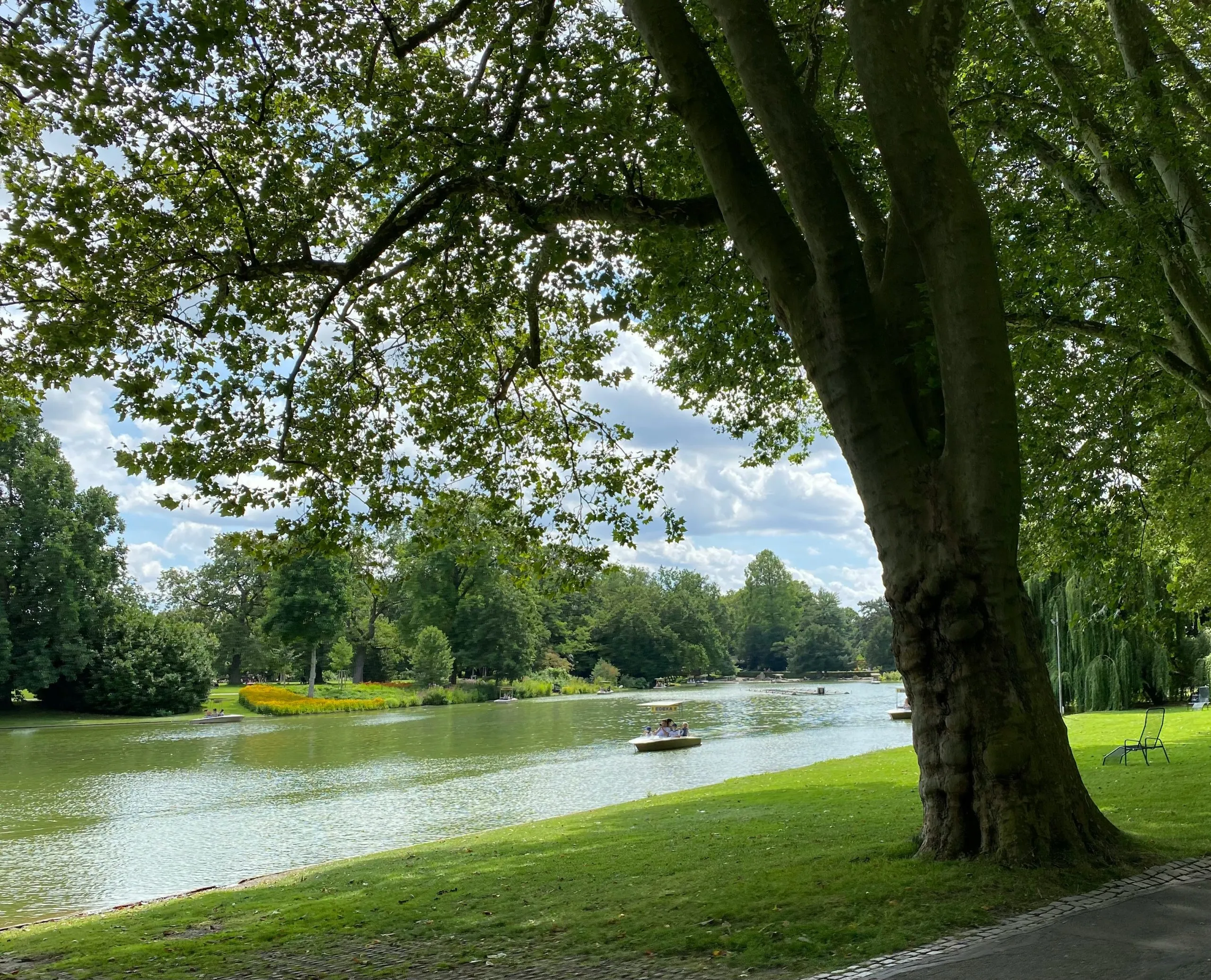
Yet tracking biodiversity in urban areas remains difficult and resource‑intensive. Traditional methods rely on on‑the‑ground field campaigns or aerial surveys that are costly, episodic and limited to larger metropolitan areas with bigger budgets.
The Innovation Behind UC2a
Use Case UC2a — Biodiversity Monitoring in Urban Environments — develops scalable AI‑driven methods to monitor urban biodiversity continuously across cities. At its core, the use case combines:
-
Deep Learning to enhance spatial resolution of freely available Copernicus satellite imagery (such as Sentinel‑1 and Sentinel‑2) so that biodiversity‑related features can be extracted with greater detail;
-
Multi‑source data fusion, integrating in‑situ, geospatial and Earth observation inputs to provide richer insights than satellites alone;
-
A transferable methodology designed to work across different cities with diverse green and blue infrastructures.
This approach aims to overcome the classic trade‑off between spatial and temporal coverage in satellite monitoring — making urban ecosystem observation more frequent, affordable, and accessible for municipalities and local authorities.
What This Enables in Practice
With advanced models built on Copernicus Foundation Models, UC2a will allow cities to:
-
Map plant species and vegetation types across urban landscapes;
-
Assess vegetation health, including stress, vigour, pest and disease impacts;
-
Characterise tree canopy structure (height and coverage);
-
Monitor water bodies and blue infrastructure for ecological condition;
-
Support ecosystem service planning, such as identifying areas for tree planting, green corridors, or biodiversity‑focused interventions.
By turning complex satellite and geospatial data into intelligible, actionable information, cities of all sizes can adopt evidence‑based strategies to protect and enhance urban nature — even where budgets for dedicated field surveys are constrained.
Partnerships and Implementation
The biodiversity monitoring use case is being led by CERTH/ITI (Information Technologies Institute at the Centre for Research & Technology Hellas), working closely with ecosystem end‑users like Veolia Group (AQUA) for real‑world testing across multiple Spanish cities. This collaboration ensures that the tools being developed respond directly to municipal needs and can be operationally adopted.
Check out our new animation all about Use Case 2A.
Read next

ThinkingEarth: Causal AI for Food Security

From Earth Foundation Models to ThinkingEarth
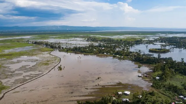
Consistent Flood Mapping and Forecasting with ThinkingEarth
