Rethinking Flood Intelligence: How ThinkingEarth Advances AI for a Changing Climate
Addressing this growing challenge requires more than reactive measures—it calls for a fundamental shift in how we observe, model, and respond to the Earth system. This is at the core of the ThinkingEarth initiative.
From Events to Systems
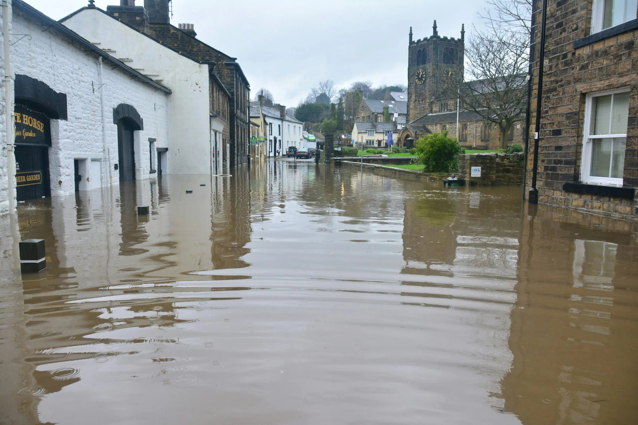
Conventional approaches to flood monitoring tend to focus on events as they unfold. While essential, this only offers a partial view.
Flood risk is shaped by a combination of factors, including:
- Weather patterns
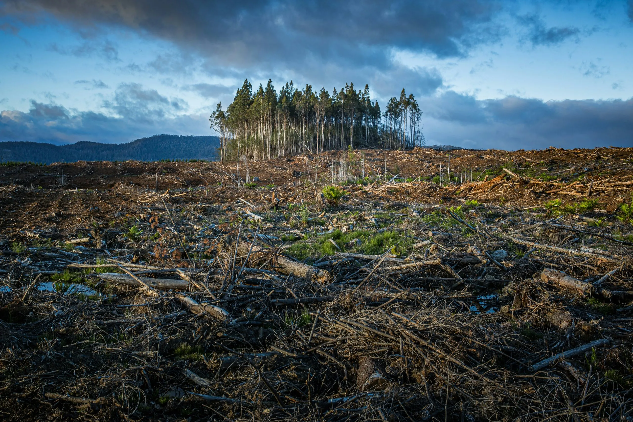
- Land use and soil conditions
- River systems
- Urban development and infrastructure
Understanding how these elements interact is key to improving both preparedness and response. ThinkingEarth brings these components together, supporting a more complete picture of how flood risk develops across regions and over time.
Supporting Better Anticipation
A central aim of ThinkingEarth is to strengthen the ability to anticipate flood risk, rather than simply react to it. By drawing on a range of Earth observation data and modelling approaches, the project contributes to:
- Earlier identification of areas at risk
- Improved forecasting of potential impacts
- Better-informed planning for climate adaptation and urban development
This helps decision-makers act sooner and with greater confidence.
From Data to Practical Insight
Effective flood management depends not only on data, but on how clearly it can inform action. ThinkingEarth focuses on making complex information more accessible and relevant to those who need it most, including:
- Emergency responders
- Public authorities
- Infrastructure planners
- Financial and insurance stakeholders
By linking scientific understanding with practical use, the project supports more timely and coordinated responses.
A Broader Landscape of Innovation
Within this wider effort, complementary systems such as Triton—recognised among the Top 100 projects by the International Research Centre on Artificial Intelligence under the auspices of UNESCO—demonstrate how advanced Earth observation can be translated into operational tools.
Triton uses satellite-based Synthetic Aperture Radar (SAR) data to produce rapid, on-demand flood maps, even in challenging conditions such as cloud cover or at night. This allows flooded areas to be identified quickly and consistently across different regions of the world, supporting timely situational awareness during unfolding events.
Looking Ahead
Flooding will remain a defining challenge of our time. Meeting it requires not only better tools, but also new ways of thinking about the Earth as a connected system.
Through initiatives like ThinkingEarth—and innovations such as Triton—we are moving closer to a future where AI enables faster insight, better decisions, and more effective responses to environmental risk.
👉 Learn more about Triton and its recent recognition: https://lnkd.in/dSgUApcf
Share
Read next

Why Foundation Models Are Transforming Earth Observation
Climate Change Demands Smarter Environmental Intelligence
Predicting Wildfires with Causal AI
